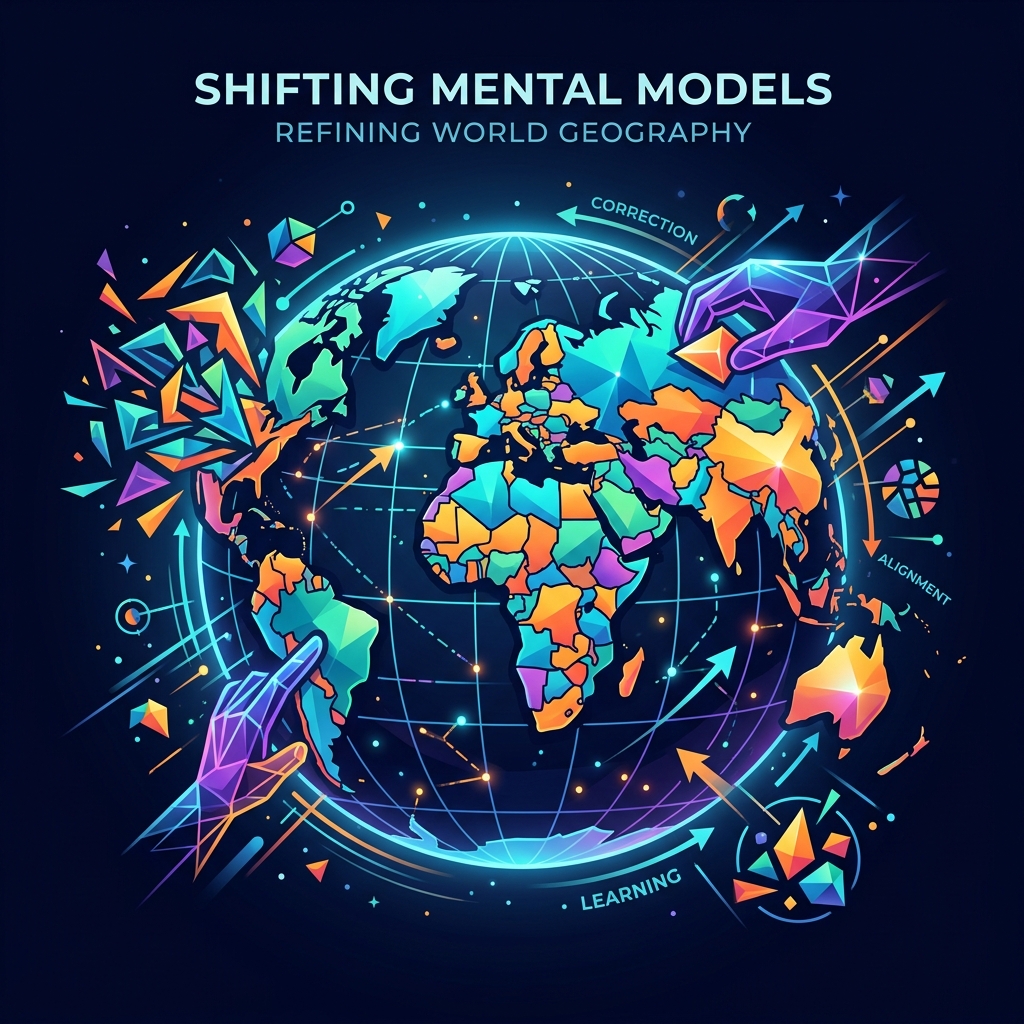
If you were asked to draw a map of the world from memory, how accurate would it be? For most people, the result is wildly distorted. We tend to inflate the size of Europe and North America while drastically underestimating the massive scale of Africa and South America.
This isn’t just because we weren’t paying attention in school. It is a fascinating intersection of cartographic history and cognitive bias. Fortunately, digital geography games are providing a fun, interactive way to rewire these flawed mental models.
The Mercator Effect
The primary culprit behind our distorted mental maps is the Mercator projection. Created in 1569 by Gerardus Mercator, this map was a revolutionary tool for nautical navigation because it preserved direction. A straight line drawn on a Mercator map corresponds to a constant compass bearing.
However, to achieve this, the projection stretches the map near the poles. As a result, landmasses far from the equator (like Greenland, Canada, and Russia) appear significantly larger than they actually are, while landmasses near the equator (like Africa and India) appear much smaller. For centuries, this projection dominated classrooms, permanently burning a mathematically distorted image into our collective consciousness.
Cognitive Bias in Map Reading
Beyond the map itself, our brains apply several cognitive biases to spatial information:
1. The Equator Bias: We naturally assume that the equator runs through the “middle” of the landmasses we see, but most of the Earth’s land is actually in the Northern Hemisphere. This throws off our vertical mental alignment of the globe.
2. The Familiarity Bias: Our brains allocate more mental space to things we are familiar with. If you live in Europe or the US, you are exposed to more news, history, and media about those regions, leading your brain to subconsciously scale them up in your mental map.
3. The Alignment Heuristic: We like neat lines. When trying to remember where a city is, our brain will often “align” it with a more prominent geographical feature, even if that means shifting its actual location by hundreds of miles in our memory.
How Geography Games Fix Our Mental Maps
This is where modern geography games shine. Unlike passive map reading, interactive games force you to confront your cognitive biases directly.
Games like True Size allow you to drag the outline of a country across the globe, correcting for the Mercator projection in real-time. Dropping a properly scaled outline of Greenland onto Africa and realizing it fits inside multiple times over is a powerful “aha” moment that instantly rewrites your mental map.
Similarly, games that require you to estimate distances between cities or countries train your brain to rely on actual spatial data rather than distorted mental heuristics.
Rewiring Your Worldview
Our mental maps influence how we view the world—politically, economically, and culturally. A distorted map can subtly reinforce a distorted worldview. By engaging with interactive geography puzzles, you aren’t just testing your memory; you are actively dismantling cognitive biases and building a more accurate, equitable understanding of the planet we share.
Frequently Asked Questions
Why does Greenland look so big on a map?
Greenland looks massive on a standard Mercator map because the projection stretches landmasses the further they are from the equator. In reality, Africa is about 14 times larger than Greenland.
Do geography games help correct cognitive bias?
Yes! Interactive geography games force your brain to confront and correct flawed spatial assumptions by providing immediate feedback on true sizes, distances, and locations.
What is a mental map?
A mental map is a person’s internal, psychological representation of the physical environment. It is shaped by formal education, media exposure, and personal experience, and is often highly distorted.